|
|
 |
Photographs of Heaphy rain forest & Mt Arthur and tablelands: Bush & Beyond
Description
Created in 1996, Kahurangi National Park, located in the north-west corner of the South Island, is
one of New Zealand's newest national parks. It is also one of the largest.
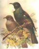
The complex landforms of Kahurangi National Park attract fossil hunters, cavers,
people with an interest in geology as well as those interested in birds and natural history.
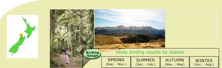
The Heaphy Track, located in the Kahurangi National Park, is the longest of the DOC
Great Walks. The track covers 78 kilometres of subtropical rainforest, tussock high country,
river valley and coast.The route connects Golden Bay in the North of the South Island with
the township of Karamea on the West Coast.
History
In the Maori language, Kahurangi means ‘treasured possession’.
It was first traversed by Maori as a pounamu, greenstone trail. Evidence of moa hunters at
the Heaphy, Whakapouai, River mouth has been dated to the 16th century.
European history started with the
discovery
of gold on both the West Coast and Golden Bay, leading to the completion of a track to connect the
two districts in 1893.
The track receives it’s name
from Charles Heaphy — explorer, artist and soldier — who, along with Thomas Brunner and
their Maori guides Kehu and
Etau, was the first European to explore the Heaphy coast.
|
|